Satellite Laser Ranging
We conduct SLR(Satellite Laser Ranging) at the Shimosato Hydrographic Observatory.
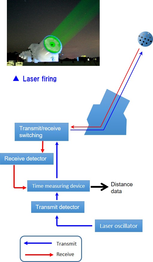
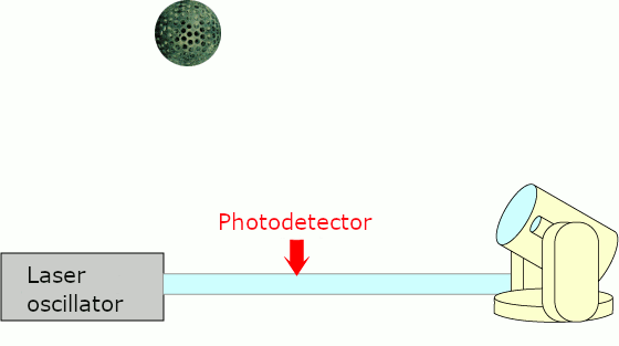
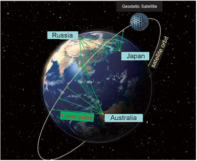
The theory of SLR is very simple. As shown on the diagrams below, SLR measures the round-trip travel time of a laser pulse, which is emitted to a satellite and is reflected back to the SLR instrument.
By multiplying half of the round-trip time by the speed of the light, the distance between the SLR instrument and a satellite can be determined.
| Image of SLR | Theory of SLR(Animation) |
 |  |
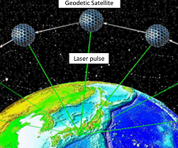
Nowadays, progress in science has enabled us to precisely predict the orbits of the satellites; yet the predictions include some errors. The results of the SLR observations (including Shimosato) are utilized for a more precise determination of the satellite orbits.
Conversely, we can precisely determine the position of the Shimosato Hydrographic Observatory by using precise satellite orbits and our observation results.
| Satellites Orbits(image) | Satellites Orbits determined(image) |
 |  |
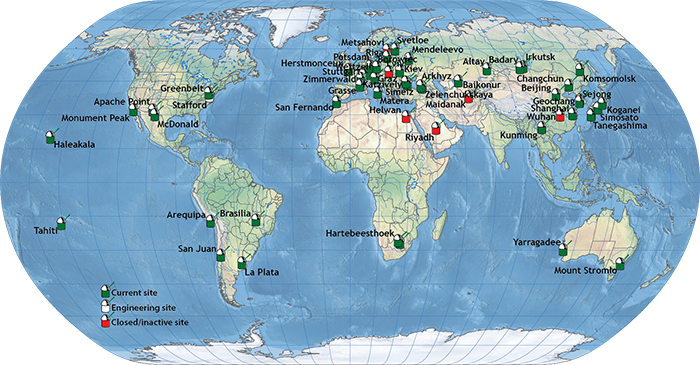
To precisely determine the satellite orbits, a world-wide observation network is necessary. SLR stations including Shimosato are organized under the ILRS(International Laser Ranging Service) to provide global SLR data.