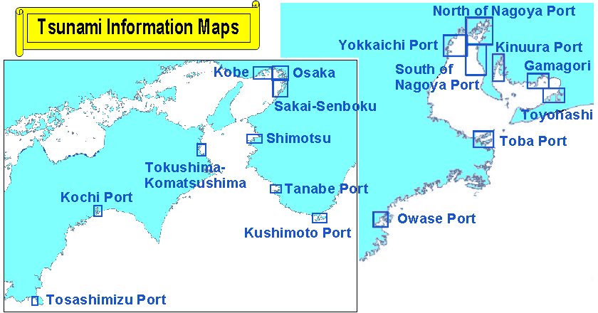
- Inflow Map
-
The color table indicates the maximum height of tsunami measured from the usual high water level at each calculated grid, which is a 50-meter cell.
The arrow with the figure shows the direction of the maximum flood current with the maximum current speed indicated by the arrow length.
The maximum height and maximum flood speed at a cell usually do not take place at the same time.
The brown line shows the iso-lapse time of the first attack of the tsunami.
The number along the brown line shows the lapse time value of the iso-lapse line in minutes. Lapse time is measured from the event of the earthquake.
Temporal change of the sea level height for select points at sea are calculated. The behavior or the character of the tsunami differs from even in the same small bay, depending on the geographical location.
Please be noted that in some cases the second or even the third attack of Tsunami is higher than the first one.