Tsunami Information
~ Simulation of the Tsunami Behavior at the Coast for Mariners ~
(Hydrographic and Oceanographic Department, JCG)
In order to minimize the tsunami hazard for mariners, preparedness and timely warning are essential. Tsunami simulation enables to show the estimated wave height, current speed, and the estimated time of arrival of a tsunami.
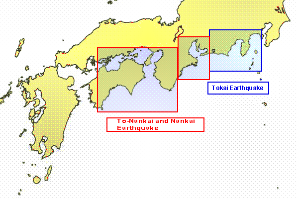
Japan Coast Guard (JCG) has developed the Tsunami Information for this purpose. It comprises of two sets of Tsunami Information Maps and Tsunami animation. (See below) By now JCG has prepared Tsunami Information for 28 major ports and harbors, and the adjacent coastal areas to them, facing the Nankai Trough, where major Tsunami generating earthquakes may occur.
The Tsunami Information is expected to be used by mariners to think about what to do and where to go in the event of a huge earthquake.
- Type of Tsunami Information
Inflow Map
Outflow Map
Tsunami Animation
Click the area(To-Nankai and Nankai Earthquake Tokai Earthquake)
 GO Home